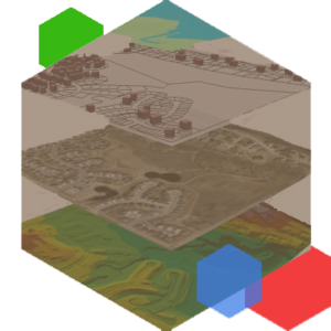
GIS Services is committed to finding the best solutions for the client’s requirements while anticipating future needs. The GIS is visualization of geographic data, analysis of spatial relationships, and efficient data management.
The GIS data conversions allow data from different sources to be merged in one common format, which allows for easy access, analysis and utilization.The vast expertise and experience allow to integrate GIS, CAD and Global Positioning Systems (GPS) services, by using high-end GIS Mapping and GIS data conversions software.
These services assist the customers to produce contour maps, spatial maps, atlas maps, cadastral maps, thematic and zonal maps, landscape maps, and environmental maps for host industries such as mining and geology, utility, agriculture, petroleum pipelines, land information management, and other GIS Mapping companies and Remote Sensing companies. GIS Mapping Services and GIS Remote Sensing services include capturing, storing, integrating, manipulating, analyzing, and displaying data related to positions on the Earth’s surface.


